Should mountain bikes be allowed in City of Boulder Open Space in the West TSA? The Community Collaborative Group (CCG) will be discussing this, the issue that has generated the most controversy in the current planning process for use of our community’s Open Space properties to the immediate west of Boulder, Monday evening September 13 starting at 5:30 at the East Boulder Recreation Center, 5660 Sioux Dr.
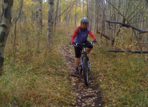
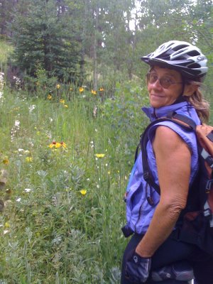
The impetus for allowing limited bike access likely has much to do with how the neighborhoods to the south were built (and the difference in mileage that a hiker or a mountain biker can cover). Please understand that whether I’m riding or hiking I’m looking for a bit of solitude, some connection with nature and the joy of being outside in this beautiful piece of Colorado that belongs to all of us. If I am on my bike, I do not want to run anybody down.
For over 40 years I have lived north of Pearl in the old section of Boulder where streets and alleys are laid out on a grid pattern. Riding my mountain bike north on 4th Street quickly takes me directly into the system of trails north of town. Fourth Street, one of the main north/south corridors in this part of town, is heavily used by runners, bikers and parents pushing kids in strollers. We all get along. People who drive in the neighborhood may use 4th Street for short distances but most auto traffic quickly diverts over to 9th Street or to Broadway. Because there is pretty good connectivity to some trail system in this area most bike users are satisfied with the status quo. It is easy and pleasant for me to manage a 14 mile bike round trip out to Boulder Reservoir in a couple of hours or so. (Now, if I could just get into the county’s system starting at Heil from my house, maybe I could manage 30 miles or more on a round trip north–not likely to happen while I can still ride and that’s a whole other topic.)
The pattern of a traditional street grid extends south to Baseline. The area to the south of Baseline has been built out with a street pattern intended to discourage auto traffic, and by default bike traffic, through the neighborhood. In order to negotiate through this part of Boulder, all traffic is funneled onto collector streets such as Table Mesa and Lehigh. These two streets do have bike lanes but their connection to any of the trail network entails riding south out of town on Highway 93 with Marshall Road as an alternate route. From my home, that’s a good 25 to 30 miles of riding with about half on trails–most is not pleasant.
What I am hearing from the biking community is a request for a better way to get out of the neighborhood and into the trail system. It’s a fair a request to ask the community to make remedy for a street network that serves the automobile driver much better than either bike riders or pedestrians. We are highly unlikely to use the powers of eminent domain to make connections to trails through private property. We do have ownership in common of our Open Space lands and a provision in the charter to provide for passive recreation. Riding a bicycle is considered passive recreation. Let’s work together to find a suitable trail corridor to the west of our south neighborhoods. Mark McIntyre’s proposal is a good start.
From past experience, I know that the mountain bike community could work with Parks and Open Space to design a sustainable new trail and raise volunteers to build and maintain that new trail. Let’s work together to accommodate a legitimate need, not anticipated at the time of development of our south neighborhoods, for a substantial segment of our community.
Link to City of Boulder’s website for the West TSA: http://www.westtsa.org
Link to “neighborhood” website for the West TSA: http://west-tsa-neighborhood-comments.blogspot.com/
Link to City of Boulder’s website of bike route map: http://www.bouldercolorado.gov/index.php?option=com_content&task=view&id=8853&Itemid=2979#BIKEPED


