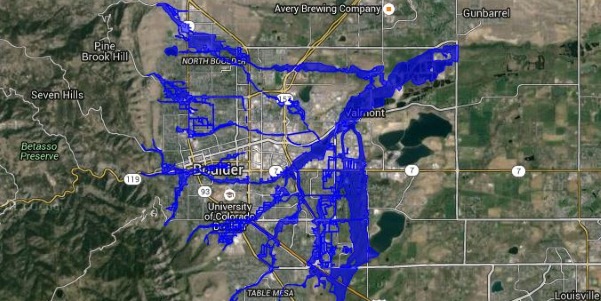
At the end of the PLAN-Boulder County forum on Friday, December 4, 2015, Jeff McWhirter, a former PLAN-Boulder Board member who is also a computer whiz and data maven, announced the debut of the “Boulder Data Hub” or “Boulder Data Wiki.” Its address is http://geodesystems.com/repository/alias/boulderdata.
In the Hub/Wiki McWhirter has assembled in a friendly form all sorts of data relating to Boulder. It ranges from traffic counts to employment to camping areas to elections results to population to water usage and much, much more.
McWhirter encourages everyone to access the Hub and play with the data. He believes that more data collection is needed in order to understand the direction in which the city is headed. He has long called for the city government to establish key metrics and report them periodically. Perhaps his Hub/Wiki will inspire it to do so.


